

Mit dem Laden des Videos akzeptieren Sie die Datenschutzerklärung von YouTube.
Mehr erfahren
”Integrated Snow Monitoring: Low-Cost Lidar and SAR Satellite Data for Site-Specific and Regional Avalanche Warning
Thomas GöllesUni Graz, Virtual Vehicle Research GmbH
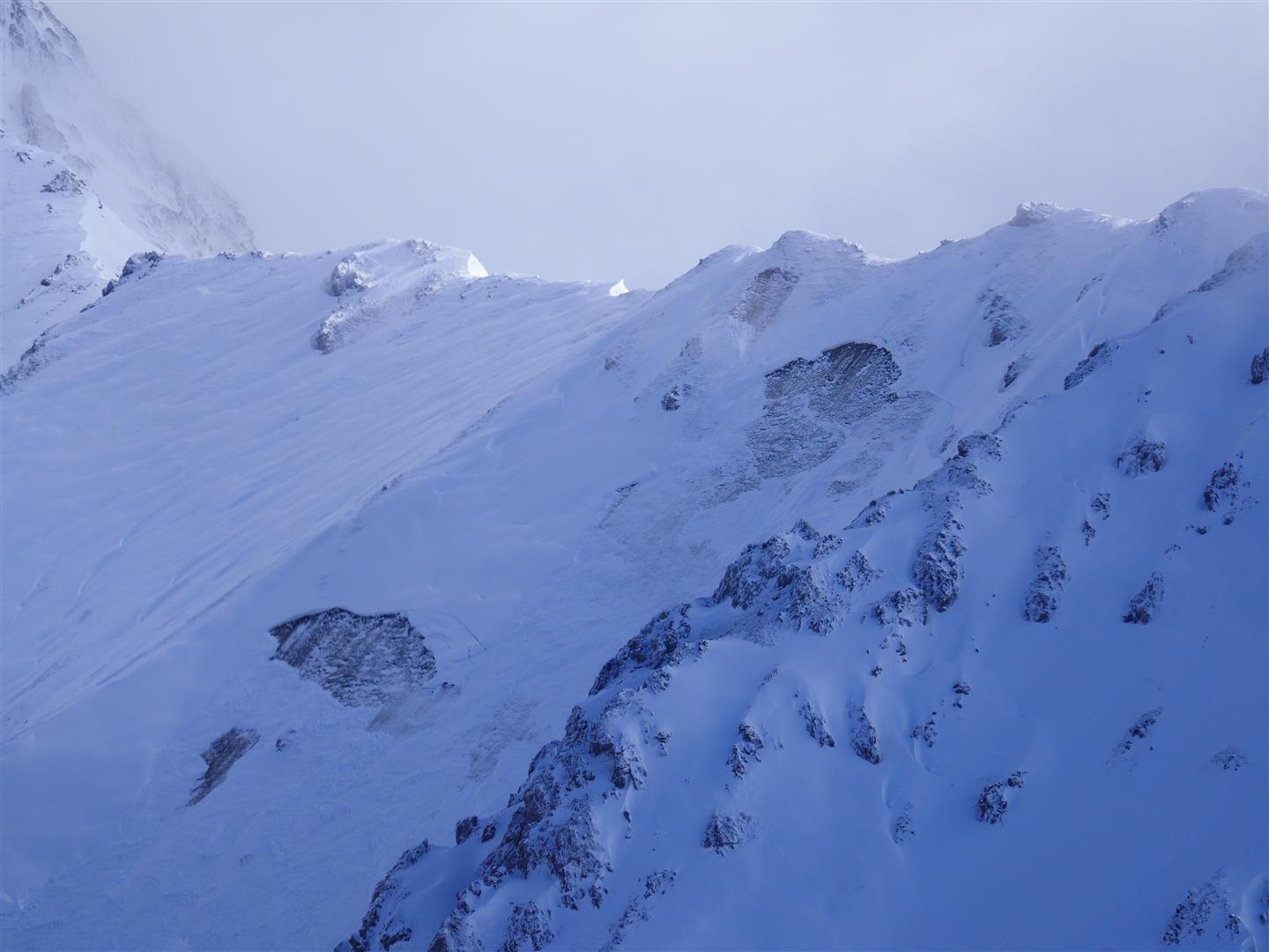
Snow depth mapping using low-cost lidar systems provides continuous, site-specific data on snow distribution. Our system can be permanently installed and seamlessly integrated into existing workflows via our processing server and REST API. We present the system’s current capabilities, initial results from two test sites—Lech am Arlberg, Austria, and Longyearbyen, Svalbard—and our roadmap for future developments. Additionally, we demonstrate a proof-of-concept for lidar-based snow measurements from a moving gondola at Mount Hoher Sonnblick.
Beyond site-specific monitoring, we also showcase our advancements in regional avalanche detection using SAR satellite data. Finally, we highlight the synergies between these two approaches, illustrating how combining satellite-based and ground-based observations can enhance both avalanche warning systems and snow monitoring.
Jetzt am schnee.semmelnar teilnehmen
Besprechungs-ID: 351 258 175 497
Kennung: K3Tozs
Das online schnee.semmelnar findet via Microsoft Teams statt! Wenn du Hilfe brauchst klicke hier!